
Comprehensive services, tailored to your project
With over 7,000 projects completed, LCG combines innovation with reliability across surveying, engineering, design, utilities and 3D spatial work, ensuring timely and cost-effective results.

Accurate surveys for every project
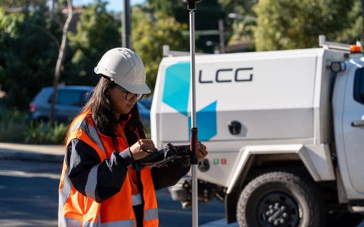
Our surveying division offers expert cadastral, topographic and geospatial surveys. Whether you're developing new infrastructure or conducting a residential survey, our certified surveyors provide precise measurements to guide your project to success, from land management to subdivision.

Engineering for today's challenges
Our engineering team specialises in civil engineering solutions, geotechnical surveying and infrastructure development. We apply the latest technologies, including 3D laser scanning and spatial engineering, to guarantee precision, safety and sustainability in every phase.

Thoughtful design for residential & commercial
Our architectural team delivers innovative building design from concept to completion. Whether designing a new home or a commercial space, we provide tailored solutions including concept design, drafting and construction documentation, with expertise in site identification and urban planning.
Remove risk before you break ground
Avoid costly delays with precise utility locating and mapping. Using advanced technology, we pinpoint underground utilities with accuracy, combining GIS mapping and subsurface utility engineering with DSS/CAD preparation to keep your project moving.

Digital reconstructions you can rely on
Utilising industry-leading geospatial technology, we apply advanced mapping and modelling to produce accurate digital reconstructions of land and structural assets, from 3D laser scanning and BIM to point-cloud and scan-to-model deliverables.

Strategic planning for successful development
LCG offers comprehensive town planning services that go beyond navigating regulatory processes. Our team provides site analysis, due diligence assessments and urban planning strategies to ensure your project secures the approvals it needs, from residential subdivisions to large-scale infrastructure.
Ready to start your next project?
Whether you need expert land surveying, civil engineering or utility mapping, LCG is here to help. Contact us today to discuss how we can support your next project.
Submit an enquiry