NorthConnex motorway tunnel
Surveying · Infrastructure

NorthConnex — connecting Sydney's future

Final certification · Cadastral boundaries · POSI surveys

The NorthConnex project is a 9-kilometre motorway tunnel connecting Sydney's M1 Pacific Motorway to the M2 Hills Motorway, one of the longest and deepest road tunnels in Australia. LCG provided final certification, cadastral boundaries and POSI surveys, ensuring precise measurements for successful infrastructure delivery.
Tharwa to Tidbinbilla Road project
3D & Spatial · Scan-to-BIM

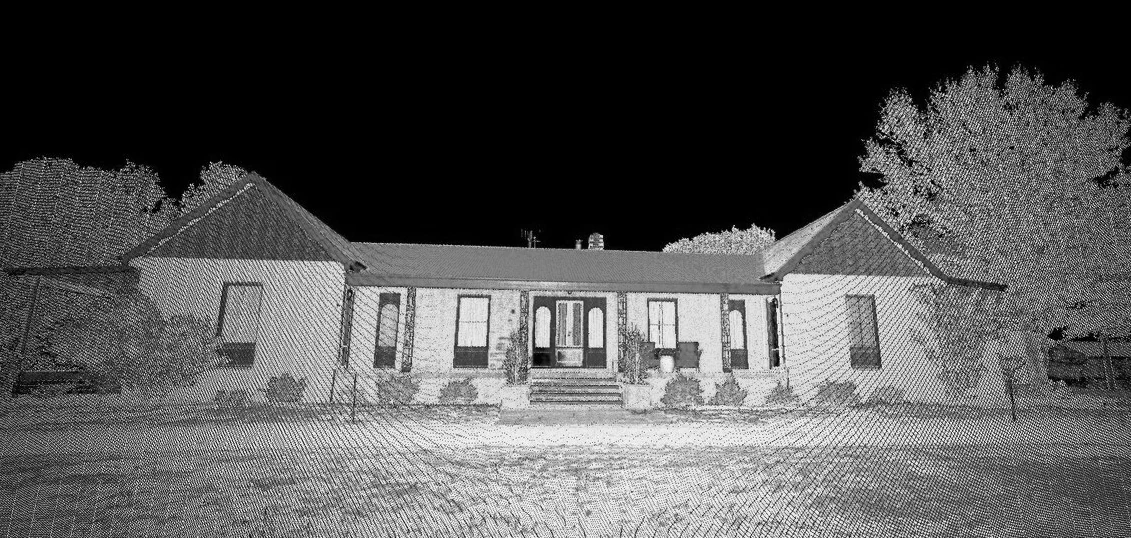
Tharwa–Tidbinbilla Road — scan to BIM

3D laser scanning · Point-cloud data · Level surveys

LCG utilised 3D laser scanning and BIM technology for the Tharwa–Tidbinbilla Road project, delivering accurate site analysis and level surveys through point-cloud data. This innovative approach provided detailed information for the DA process while maintaining precision in site planning.

Caroline Street Ng Residence design
Architecture · Residential

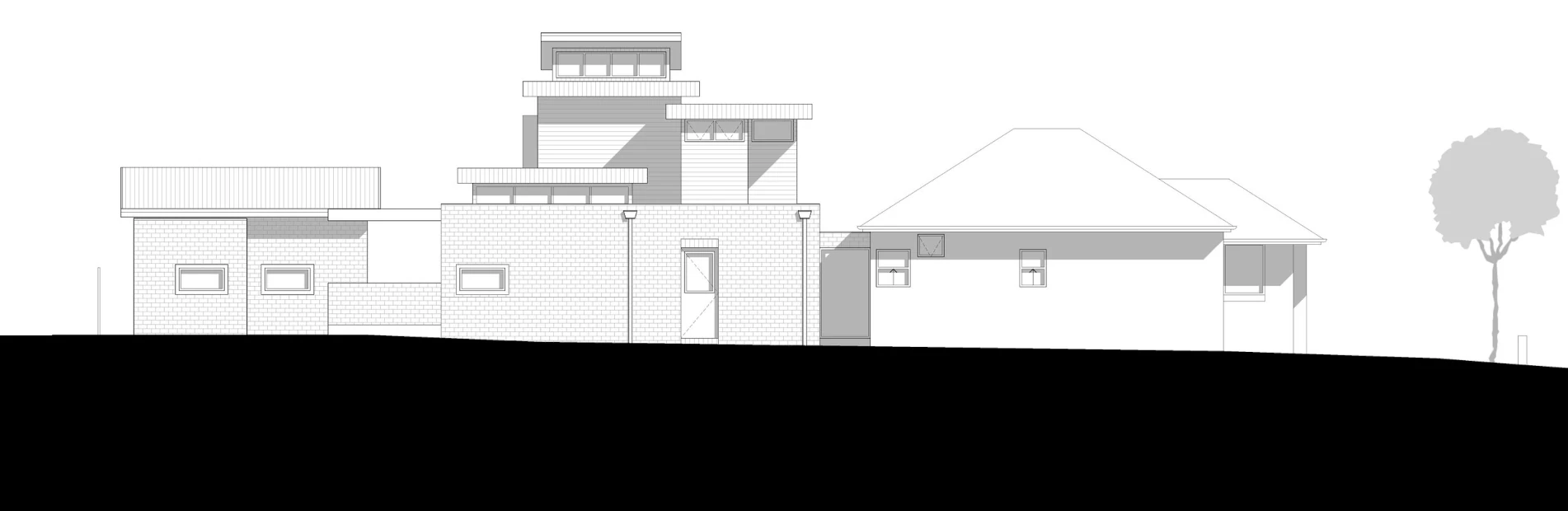
Caroline Street Ng Residence

Sketch design · Schematic design · Development application

The Caroline Street project involved alterations and additions to an existing building in Kingsgrove, NSW. LCG's architectural team delivered sketch and schematic design and managed the development application, producing a beautifully updated residence with masonry walls, timber frames and expansive outdoor living, designed in harmony with the local environment.

Woolworths Emerton Village upgrade
Construction · Building services

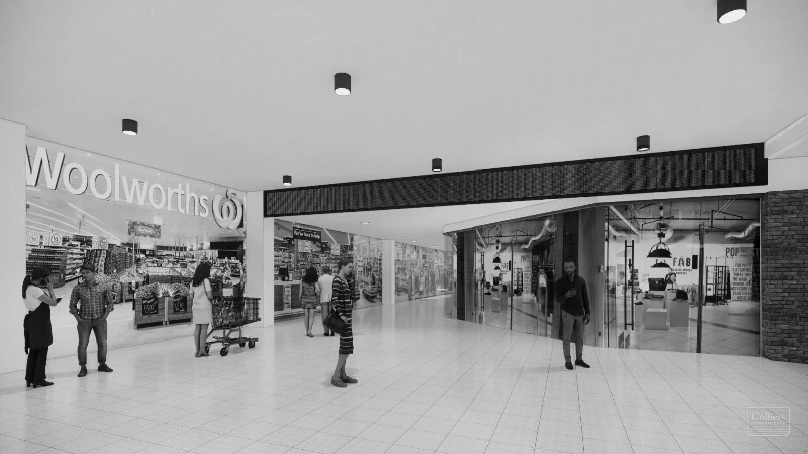
Woolworths Emerton Village upgrade

Construction survey setout · 3D laser scanning

The redevelopment of Emerton Village will transform the community's shopping experience. LCG contributed comprehensive construction survey setout, 3D laser scanning and precise measurements to ensure a smooth build process, including site planning and spatial data analysis.

Sydenham and Bankstown Metro upgrade
Utility mapping · Rail

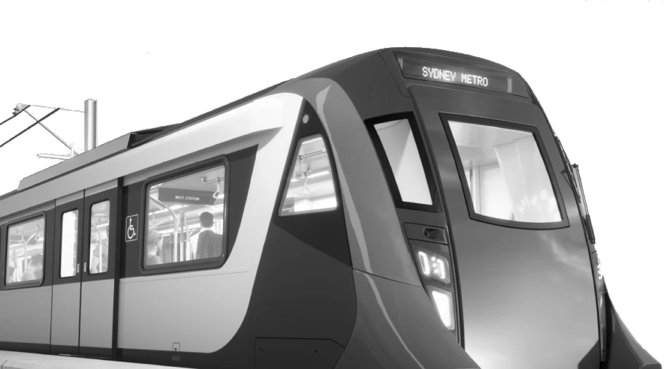
Sydenham & Bankstown Metro upgrade

Utility mapping · DSS CAD preparation

As part of the T2M project, LCG delivered utility mapping and DSS CAD preparation for the Sydenham and Bankstown Metro line upgrade. Our use of GIS mapping and subsurface utility engineering ensured a streamlined approach to enhancing one of Sydney's busiest rail corridors.

Parramatta Light Rail
Surveying · Spatial

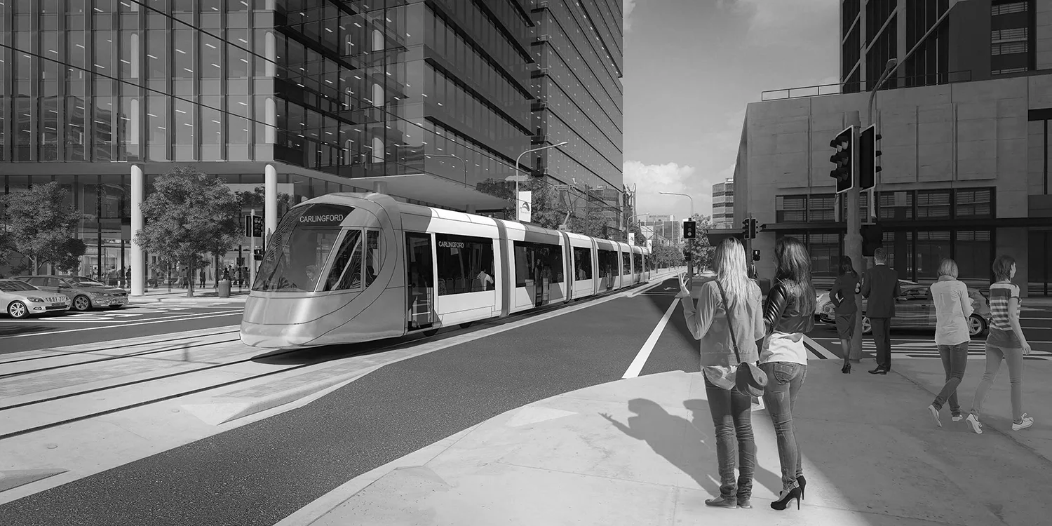
Parramatta Light Rail

Survey support · Spatial capture

LCG supported delivery of the Parramatta Light Rail corridor with survey and spatial services, helping transform transport connectivity across Western Sydney with the precision and reliability major public works demand.

Let LCG guide your next project

Whether you need infrastructure development, building design services or advanced utility mapping, LCG is ready to support your project.

Contact us today